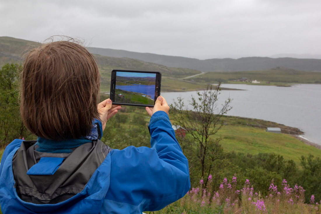
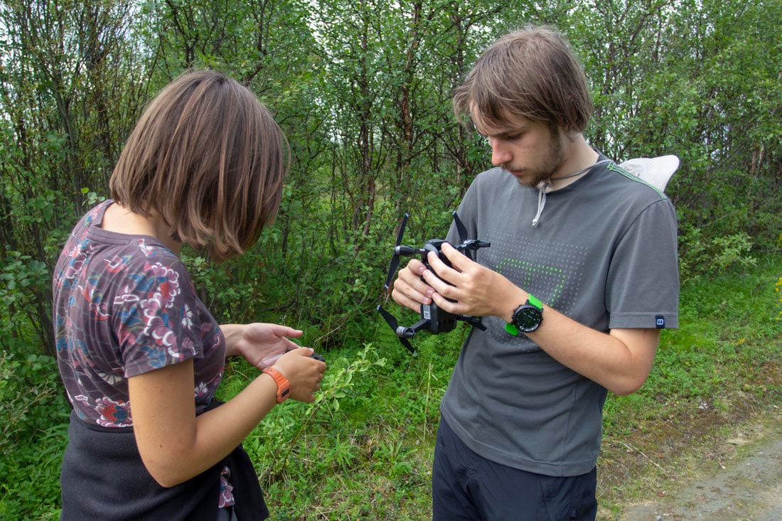
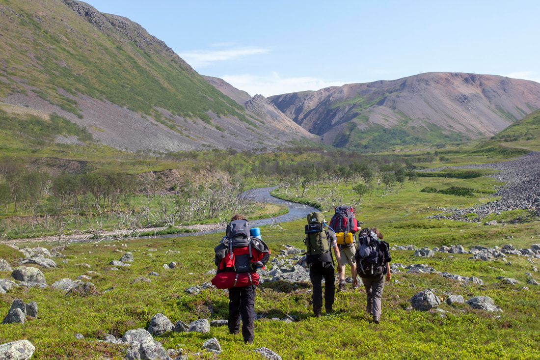
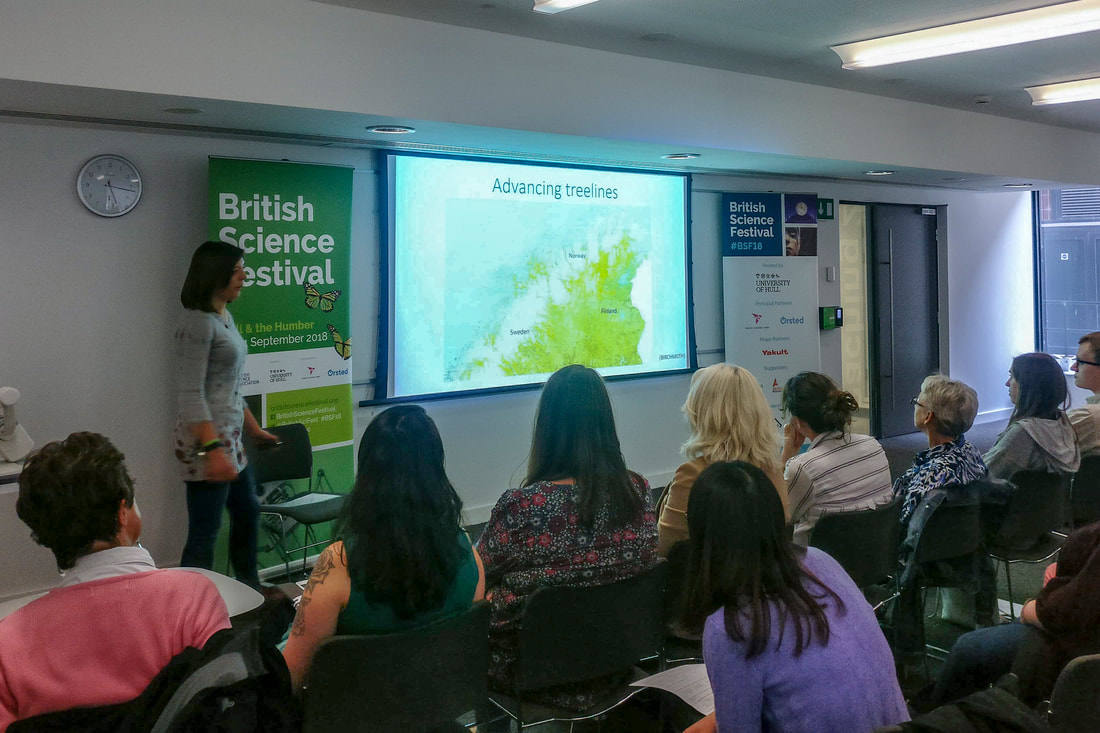
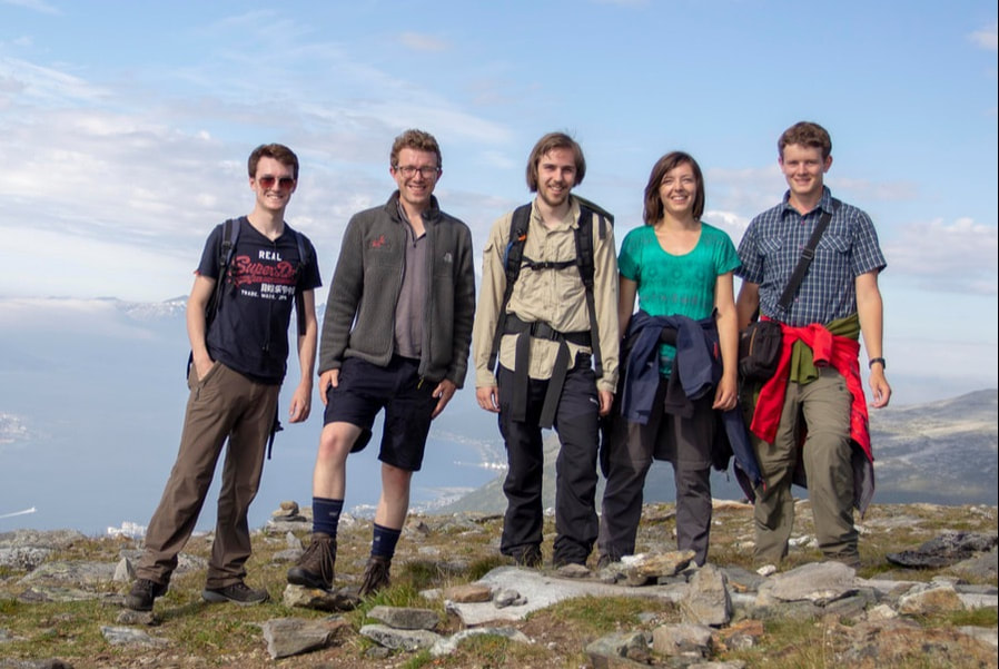
The Finnmark Expedition was an excellent opportunity to study first hand the remote arctic wilderness. We used a state of the art pocketable drone called Rudolph combined with industry mapping software, alongside hi resolution photography to capture this landscape in full. The results are surprising: greening landscapes, dying trees, no change at all, and complex human interactions.
The expedition was inspired by two pieces of information:
- Adrian and Holly had visited the area in 2016 for their undergraduate geological mapping project, and were shocked to see the dying of the birch forests. On return we spoke to our supervisor who had been to the are in the 1970s, it sounded like the landscape vegetation had changed a lot.
- In 2017 National Geographic published an article on landscape change in Glacier Bay Alaska. Using rephotography the showed how over 100 years the landscape had changed from Tundra to Birch forest, this was all the inspiration we need to form the expedition.
Climate change is occurring faster at high northern latitudes than most other places in the world, warming 2.5 times faster than average (ACIA, 2005). The is likely to have a larger and more rapid impact on landscape ecology and hence the people living there than further south. This makes the arctic a prime location to study the impact of climate change and the effect this has on people before it starts to affect more densely populated parts of the world.

