By contacting members of previous expeditions to the Varanger Peninsula, we collected over 100 photographs of the landscape, spanning the last 50 years.
The owners of many photos roughly knew the photograph location, but the majority had to be more precisely located using satellite imagery. These were the locations that we would need to visit in the field. Some photographs were easier to locate than others, and there are some that we may never work out where to place on a map. For more information about finding the original photographs check out Holly's blog post.
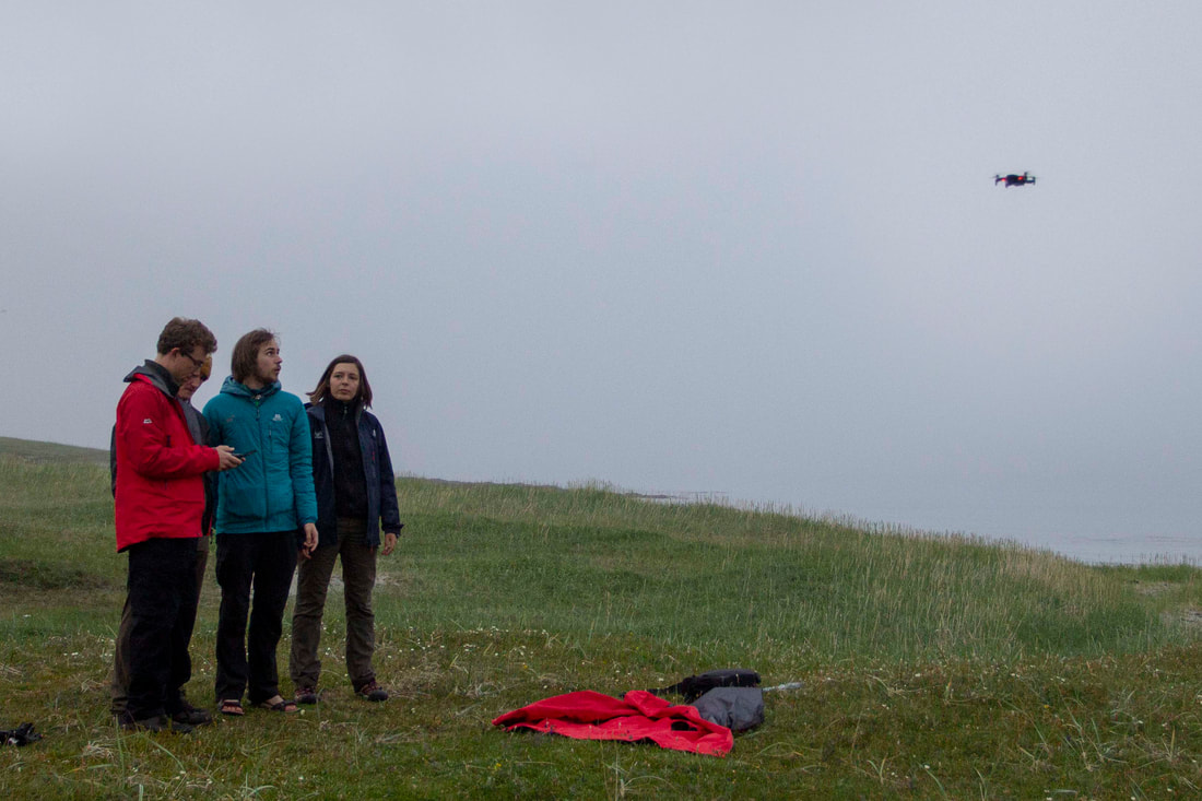
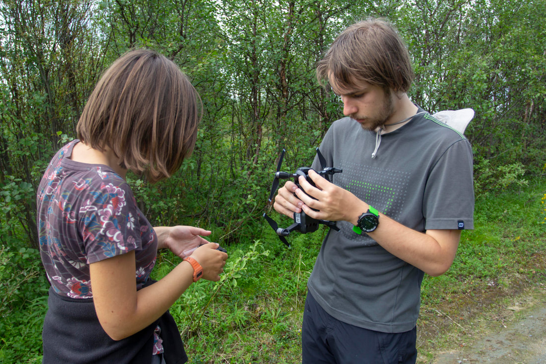
By standing in the same point as the original photographer, we were able to retake over 60 of these photographs in the field, and assess how the landscape has changed through time. We found varied and surprising results that are shown in the photos below.
The owners of many photos roughly knew the photograph location, but the majority had to be more precisely located using satellite imagery. These were the locations that we would need to visit in the field. Some photographs were easier to locate than others, and there are some that we may never work out where to place on a map. For more information about finding the original photographs check out Holly's blog post.
By standing in the same point as the original photographer, we were able to retake over 60 of these photographs in the field, and assess how the landscape has changed through time. We found varied and surprising results that are shown in the photos below.
Rephotography results:
|
|
Tree die back and landscape greeningGulgofjord looking West into Tana Fjord. Birch forest in the valley is showing extensive moth damage from the autumnal and winter moths. Note both the hillside on the righthand side of the photo and the river banks are much greener in 2018. The greened river banks demonstrate that floods have got smaller. 1974 photograph taken by Bruce Levell
|
Tree die backGulgofjord looking south. A close up of moth damage, the prominent tree has been killed by moths defoliating the trees. The vegetation on the north facing hillsides seem little changed.
1974 photograph taken by Bruce Levell |
|
|
|
Greening and vegetation change Trees have grown substantially, largest change we observed. The low willow has largely died out being replaced by Juniper. This change is tree hight could be partly man made as the settlement has changed from farm to holiday cottage in the intervening years, perhaps less trees are cut down now for fuel. Digurmul Peninsula, north of Stappogiede. 1968 photo taken by Nigel Banks
|
Human influenceSmall tributary of the river Tana on the west side north of Tana Bru. This rephotography documents the spread of birch forrest into abandon fields, demonstrating just how fast land is reclaim. Is this what has happened in Stappogiede? The greening of the river banks as alluded to above shows less erosion and deposition. 1968 photograph taken by John Collinson
|
|
|
|
No changeDigermul Peninsula, Breivik bay looking north. Vegetation is unchanged. 1968 photograph taken by Nigel banks
|
Forest RecoveryOn a positive note showing the clear recover of the birch forest from moth infestations. The is encouraging given that defoliation is happening in birch forest throughout Europe and it is an important ecosystem for many species. Taken looking north on the road to Vestertana. 2006 photograph taken by Hugh Rice.
|
|