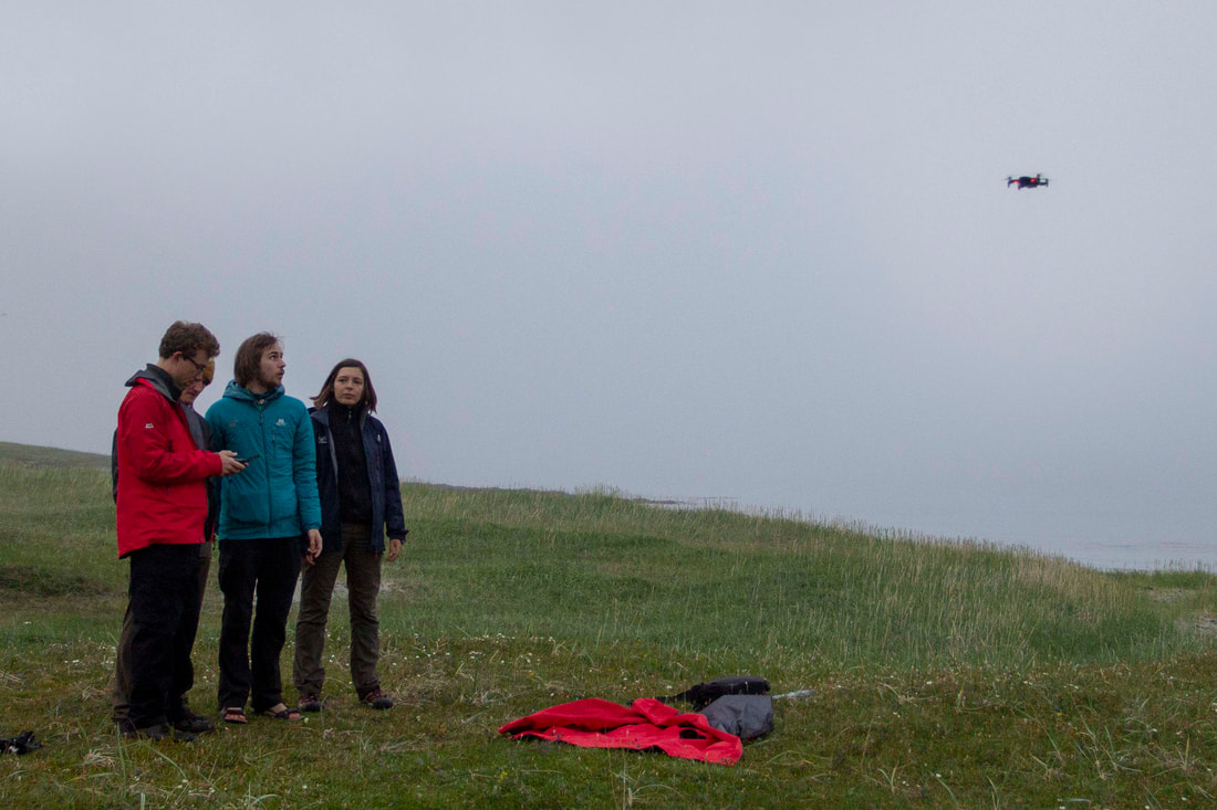
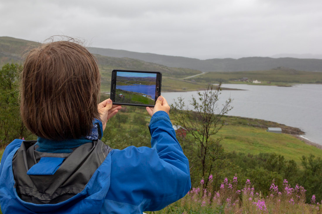
We used a Mavic Air drone to take high resolution aerial photographs of areas of the Varanger and Digermul Peninsulas to assess moth damage and to compare against satellite imagery. In the area the oldest aerial imagery is from the 1970s providing a 50 year dataset.
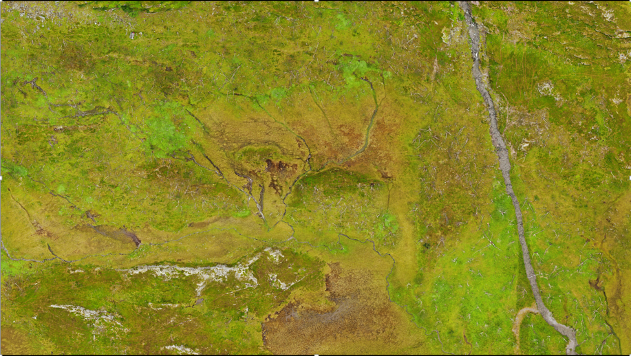
The drone flew using automated software (Pix 4d), taking photos that could later be stitched together to produce maps like the one below. Charging the drone in the field was a challenge, and we designed a system to charge our drone batteries by wiring a battery box to solar panels. For details on the charging system, read our blog here (coming soon!)
The drone flew using automated software (Pix 4d), taking photos that could later be stitched together to produce maps like the one below. Charging the drone in the field was a challenge, and we designed a system to charge our drone batteries by wiring a battery box to solar panels. For details on the charging system, read our blog here (coming soon!)
These images will produce a very high resolution maps at 2cm per pixel (leaf size), that repeat mapping can be compared to in the future.


